What Senjogahara Is
🌾 A High Marsh, Not a Meadow
Senjogahara (戦場ヶ原) is a roughly 400-hectare marshland plateau at about 1,400 meters in Oku-Nikko — the highland zone of Nikko National Park beyond Lake Chuzenji. It is a genuine wetland ecosystem: open marsh grasses, scattered birches, and boardwalk laid so that thousands of walkers a year can cross it without trampling it.
The reward is space. After the shoulder-to-shoulder decks at the shrines and falls, the marsh gives you a horizon — and for most of the walk, Mt. Nantai holds it, the volcano's cone rising clear of the flat grassland.
💧 A Waterfall at Each End
The classic route runs between two of Nikko's headline falls:
- Ryuzu Falls at the southern end — a 210 m twin cascade (the "dragon head"), viewable free from its teahouse.
- Yudaki at the northern end — a 70 m fall pouring down a lava face, draining Lake Yunoko above.
Walking the marsh stitches the two together into one route — how they compare with Kegon and Kirifuri is in the Nikko waterfalls guide.
The Boardwalk Trail, Practically
🥾 The Walk Itself
- Route: Ryuzu Falls ↔ Yudaki across the marsh, about 2 hours one way at a looking-around pace.
- Terrain: mostly flat, well-maintained boardwalk — a walk, not a hike. Ordinary walking shoes are fine in the green season.
- Direction: either way works. North puts Yudaki as your finale; south ends at Ryuzu's teahouse. Pick by which bus arrives first.
- Weather note: you are at 1,400 m on open marsh — bring a layer even in summer, and expect the exposed stretches to feel it when the wind runs.
🚌 Getting To the Trailheads
The Oku-Nikko bus route beyond Chuzenji Onsen serves the marsh, and bus stops serve both trailheads — the Ryuzu Falls end and the Yudaki end — so the standard plan is to walk one way and ride back (or ride onward toward Yumoto Onsen).
- The NIKKO PASS ALL AREA (¥8,000 adult / ¥4,000 child, 4 days, as of mid-2026) covers these buses along with the Asakusa round trip.
- Reaching Oku-Nikko in the first place means the bus up Irohazaka past Lake Chuzenji — the full journey from Tokyo is in the getting-there guide, and the whole layout of trailheads, falls, and stops is plotted on the Okunikko map.
Seasons on the Marsh
🍂 Autumn — The Early Gold
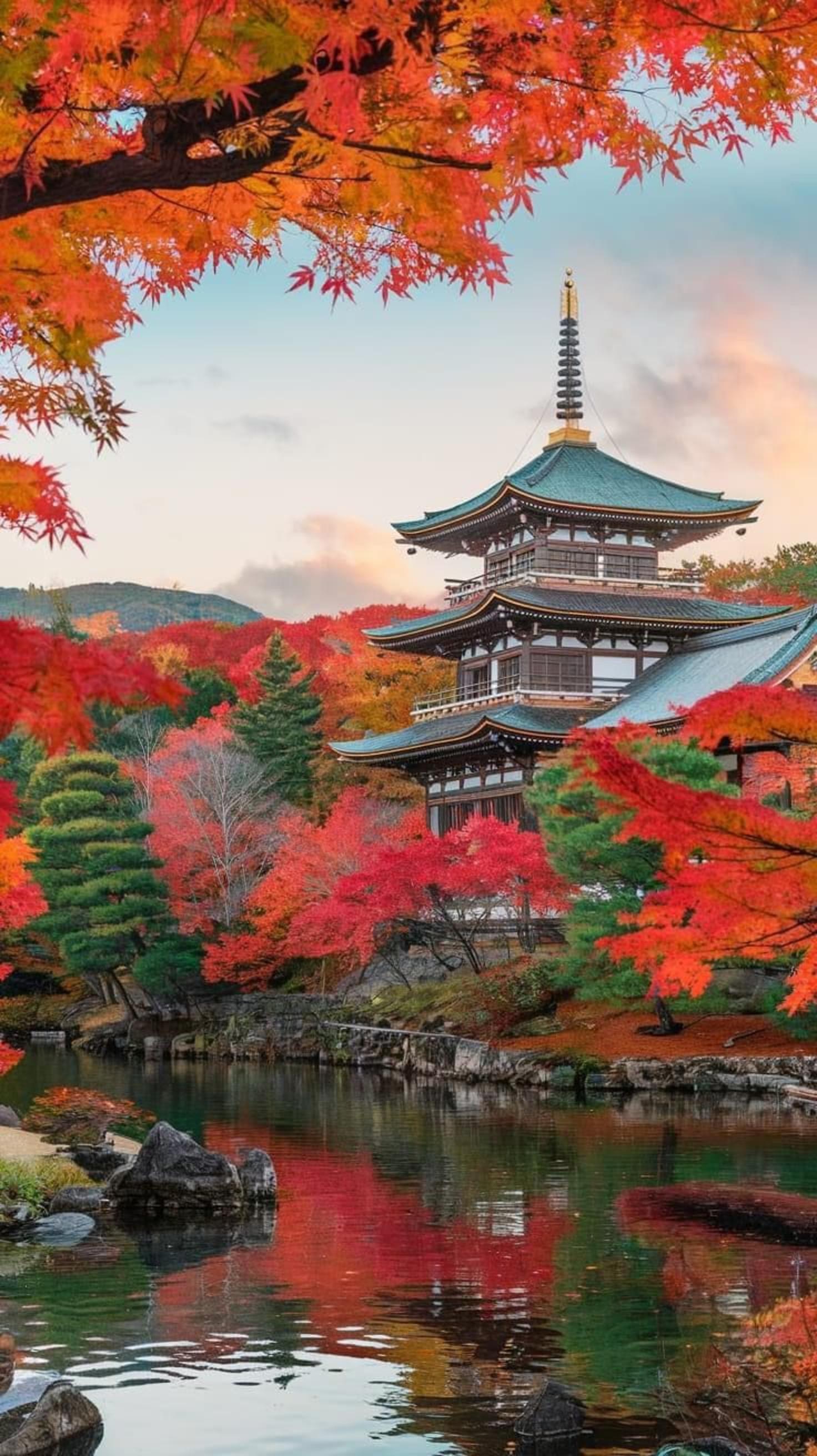
The marsh grasses turn gold from late September to mid October — the earliest autumn color in the Nikko area, ahead of the Chuzenji/Kegon level and weeks ahead of the town. If you are chasing first color, this is where Nikko's autumn begins. The full top-down color timetable is in the seasons guide.
🌼 Summer — Wildflowers and Cool Air
In summer the marsh runs green and cooler than the lowlands, with wildflowers through the grasses and the boardwalk at its most comfortable. It is the season the trail feels most like what it is: a wetland alive and working.
❄ Winter — Snowshoe Territory
Under snow, Senjogahara becomes snowshoe country — beautiful, silent, and not a casual stroll. Deep snow hides the trail edges, so go with a guided snowshoe outing rather than improvising. In the walking season no guide is needed; winter is the exception.
Want a Guide? Here's the Honest Picture
No fixed-route group tour from Tokyo currently walks Senjogahara — the standard day-tour circuit is Kegon Falls, Lake Chuzenji, and Toshogu, and the marsh is not on it. If you want Senjogahara with a vehicle and a guide, the way to get it is a customizable private tour that builds the boardwalk into your day.
Nikko Private Tour with English-Speaking Guide (Customisable)
Private vehicle, English-speaking guide/driver, and an itinerary you set — ask for the Senjogahara boardwalk plus the pieces of Oku-Nikko you care about. Free cancellation.
From $66 per person
Check availabilityComparing group tours, privates, and prices? The full line-up is on the booking section.
Senjogahara FAQ
Trail length, direction, seasons, and how tours handle the marsh.
About 2 hours one way on the boardwalk between Ryuzu Falls and Yudaki. It is mostly flat, well-maintained boardwalk — a walk rather than a climb — so the time is about distance and stopping to look, not effort. The route and both trailheads are plotted on the Okunikko map; add time at both waterfalls.
Either — the trail is flat enough that direction barely changes the effort, and bus stops serve both trailheads, so walk one way and ride back or onward. North puts Yudaki as your finale; south ends at Ryuzu Falls' twin cascade and its teahouse. Both falls are compared in the Nikko waterfalls guide.
Late September to mid October — the earliest autumn color in the Nikko area, ahead of the Chuzenji/Kegon level (mid–late October) and well before the town (late October into early November). The full elevation-by-elevation timetable is in the seasons guide.
The buses to the trailheads are covered by the NIKKO PASS ALL AREA (¥8,000 adult / ¥4,000 child, 4 days, as of mid-2026), which includes the Asakusa round trip and the Oku-Nikko area buses. The marsh itself sits inside Nikko National Park, which has no entry fee — the boardwalk is free to walk.
No fixed-route group tour currently walks it — the standard Tokyo day-tour circuit is Kegon Falls, Lake Chuzenji, and Toshogu. If you want the marsh with a guide and a vehicle, customizable private tours can build it in; the value option is in the booking section above, from $66 per person.
In winter the marsh becomes snowshoe territory, and the sensible way in is a guided snowshoe outing rather than going solo — deep snow hides the trail edges and conditions at 1,400 m are serious. In the walking season the boardwalk needs no guide at all; what each month looks like is in the seasons section.
Keep Planning
- Nikko Waterfalls Compared — Ryuzu and Yudaki at the marsh's ends, against Kegon and Kirifuri.
- Nikko National Park — the park's zones, wildlife, and how Senjogahara fits the bigger picture.
- Seasons Guide — first gold on the marsh to blue ice on Kegon, month by month.
- Okunikko Map — trailheads, bus stops, falls, and viewpoints in one view.